Reducing erosion on steep grazing land
In February 2023, Cyclone Gabrielle caused extensive damage to farmland in Hawkes Bay and Tairawhiti-Gisborne.
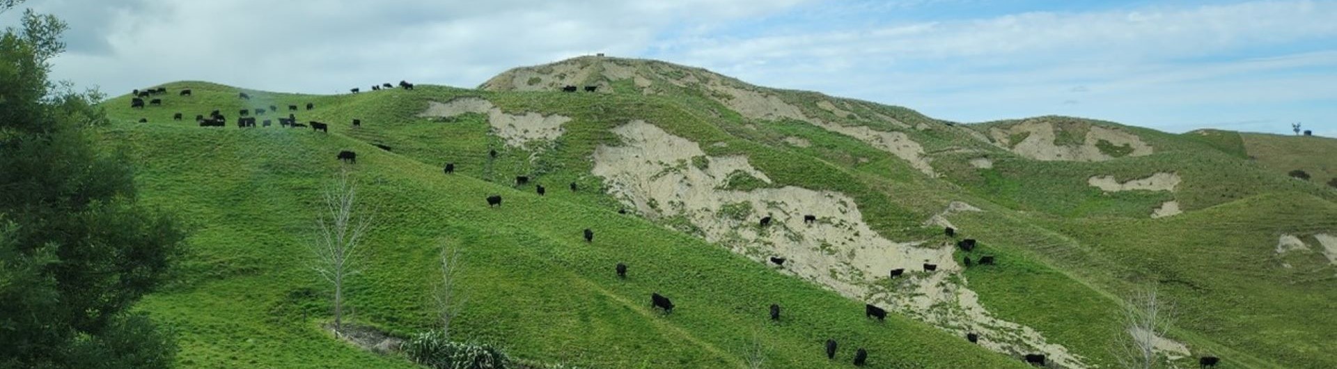
Erosion rates in this region are naturally very high due to the dominance of steep slopes, erodible rocks, and frequent high-intensity rainstorms while deforestation and the introduction of large numbers of grazing animals have further increased erosion rates. The most widespread type of erosion in this region is mass movement, particularly soil slip and earthflow erosion which is characterised by small scars and long narrow debris tails where much of the debris is redeposited downslope. Intense rainfall increases the pore water pressure in the soil, which reduces the effective downward (overburden) pressure of soil at the failure plane between soil and subsoil. On steep hill slopes this often results in shear stress exceeding shear strength, causing slope failure.
Tree plantings increase the rate of water infiltration into the soil by 10 to 60 times compared to pasture.

Increased infiltration is associated with improved soil structure and drainage that reduces landslide susceptibility. In addition, this decreases the overland flow of water down the slope which is key in lowering flood peaks. Shelterbelts and hedges have associated benefits such as reducing runoff and loss of sediment, Nitrogen, Phosphorus and Carbon.
To explore factors contributing to landslips and help identify mitigation strategies, Prism used eXplainable AI to model erosion at catchment scale. The project team assembled data such as slope, elevation, and land cover alongside previously mapped landslips from Manaaki Whenua Landcare Research. The interpretable model produced a probability map of landslips and achieved approximately 90% predictive accuracy when compared to mapped slips. The predictions from the model revealed a strong correspondence between the predicted slips and actual slips as well as a clear relationship with slope and vegetative cover.
Catchments across the east coast were then modelled using three rainfall scenarios:
- Small event using the median rainfall as experienced during Cyclone Gabrielle
- Observed event as experienced during Cyclone Gabrielle
- Large event using the highest rainfall readings experienced during Cyclone Gabrielle
An interactive dashboard was developed for impacted Silver Fern Farms suppliers. It allowed the user to explore scenarios based on levels of planting mitigation, differing sizes of major rainfall event, and varying prices of carbon units.
The resulting metrics include the area and mix of planting, the cost of that planting, the subsequent area of converted pasture, the number of hectares of landslides and tonnes of soil loss prevented, balanced against the potential carbon sequestered by the planting and the long term return through the ETS.
